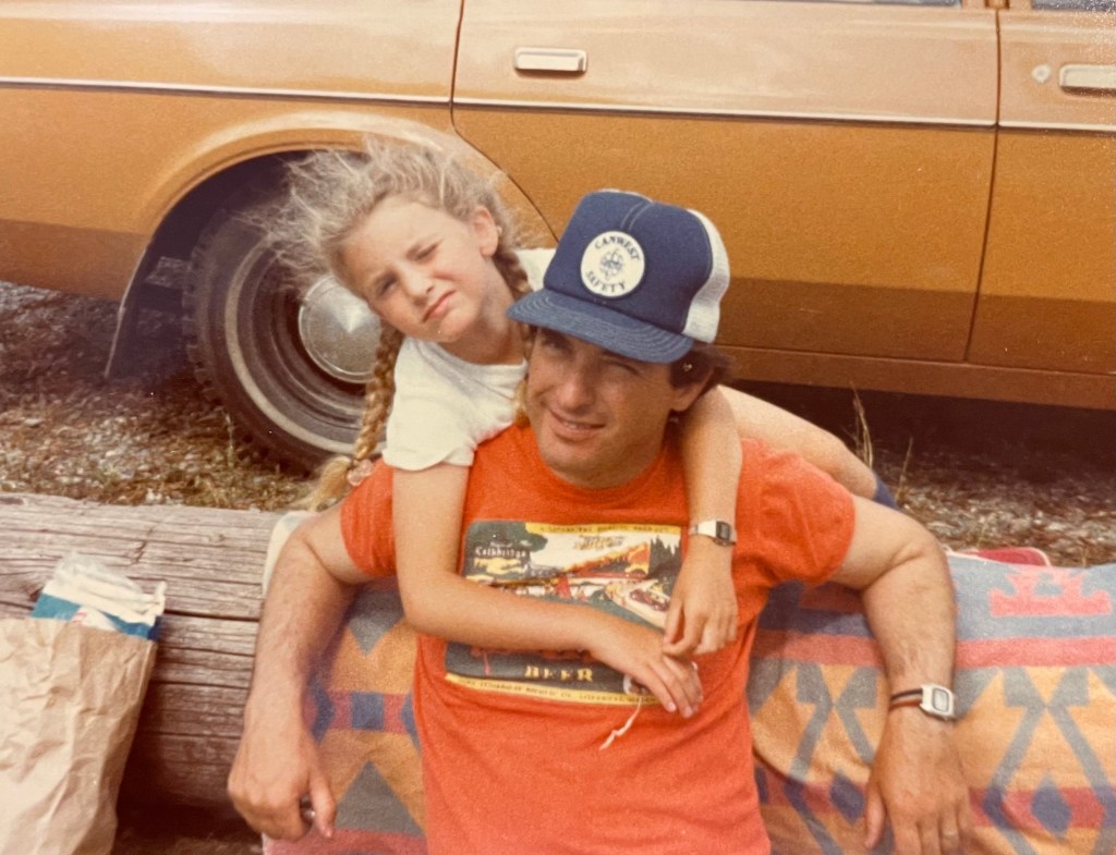
For all the years I’ve been both a hobby and professional genealogist an amazing resource was at my disposal – my dad’s extensive cartographic knowledge of Western Canada.
The vast majority of my genealogical research is tracking immigration on the prairies (Manitoba, Saskatchewan and Alberta), which involves land grants and homestead registers. Understanding meridians, townships and all that stuff is key to locating farms and tracking the success or failure of immigrant families to develop their land.
I was lucky – my dad processed seismic data across Western Canada for the length of his career in the oil industry. Until last summer I could call him up, give him coordinates and he could tell me exactly where a homestead was located in the next breath. Honestly, he deserved a consultant’s fee, but I think he enjoyed impressing me with his accuracy based on fifty years of pouring over maps of the prairies. He was my very own Amazing Kreskin and Bill Nye the Science Guy, and it spared me a lot of time. Dad loved my genealogical work too; we were a mutual admiration society.
These days I’m pouring over maps on my own. Last fall, Dad had a massive stroke. He’s recovered remarkably, but his neural pathways are different than they were. I miss that bond – forged studying latitudes and longitudes, which seemed to shorten our physical separation of 1,340 km from Winnipeg to Calgary. Pushing 50 myself, I see how incredibly lucky I’ve been. We talk all the time and he’s still my dad but whenever I look past the 100th meridian West and beyond I get lonely for him – the man who taught me how to read a map in the first place.
